
Map Collection
Our extensive collection of maps, located on Level 9 of the Central Library, includes National Parks, local recreation, road maps, as well as over 4,000 sheet maps for checkout and reference.
Explore the Collection
The Map Collection is located on Level 9 of the Central Library and is accessible during open hours. Patrons can borrow many of these maps for tourist activities, outdoor recreation or car travel.
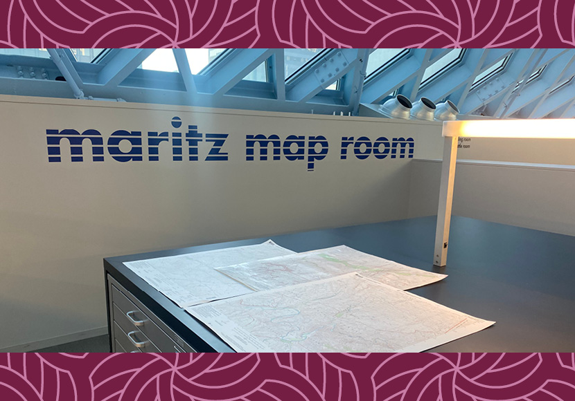
The Maritz Map Room houses over 700 flat maps for checkout, along with thousands more for reference. These maps cover world geographies, thematic subjects such as culture and history, and a wide selection of maps of the United States. The collection also includes thousands of historical reference maps including nautical charts, U.S. Geological Survey maps, and global ordinance maps for in-library. Laminated Green Trails and Custom Correct maps are available for checkout, perfect for taking on hiking and backpacking adventures in the Pacific Northwest.
A federal repository of maps is located at the entrance to the Map Room. This section offers federal land maps and tourist information. It also provides resources on cultural and natural history, ecology, geology, and motor vehicle access routes for National Parks, Monuments and Forests. Lastly, it includes CIA maps of world countries and regions that show cities, towns, borders and important landmarks.
The Map Collection also includes a variety of folded maps that are available for checkout (these maps are not in the Library catalog, so visit the Central Library to browse them). These include general interest maps, thematic National Geographic maps, road maps, and recreation maps covering local, regional, national, and international destinations.
The collection also features a wide selection of global, national, historical, and road atlases for in-library use.
Visitors can also explore the hands-on, raised relief “Orbit Earth Globe,” which measures 26 inches in diameter and was added in 2019.
Seattle Room Maps
Local Seattle and King County historical maps, including historical real estate and fire insurance maps, are housed in the Seattle Room Collections located on Level 10 of Central Library. Access to the Seattle Room is available by appointment only.
Preview the Collection
Using the catalog’s advanced search, you can explore Seattle and King County historical maps available in the Seattle Room by clicking the Collections drop-down menu and selecting “REF - Seattle Room Level 10 Map Case (By Appointment Only)”.
Online Map Resources
Explore websites and other digital resources that our librarians in the History, Travel and Maps Department use themselves to answer your questions.
Get outside and explore the natural wonders of Western Washington and beyond with these hiking, camping, biking, fishing and other outdoor recreation guides and maps.
About the Collection
The Maritz Map Room opened in 2004 as part of the new Central Library. With its opening, over 700 maps that were previously restricted to in-library use became available for checkout. The Map Room continues to offer visitors the opportunity to engage with printed maps and explore the history of cartography in our increasingly digital world.